Trail Map
Quick Facts
| Distance: | 11.3km Round Trip |
| Elevation Gain: | 1125m |
| Difficulty: | Challenging |
| Time: | ~6hrs |
| Season: | Summer |
| Parking: | Lots |
Description
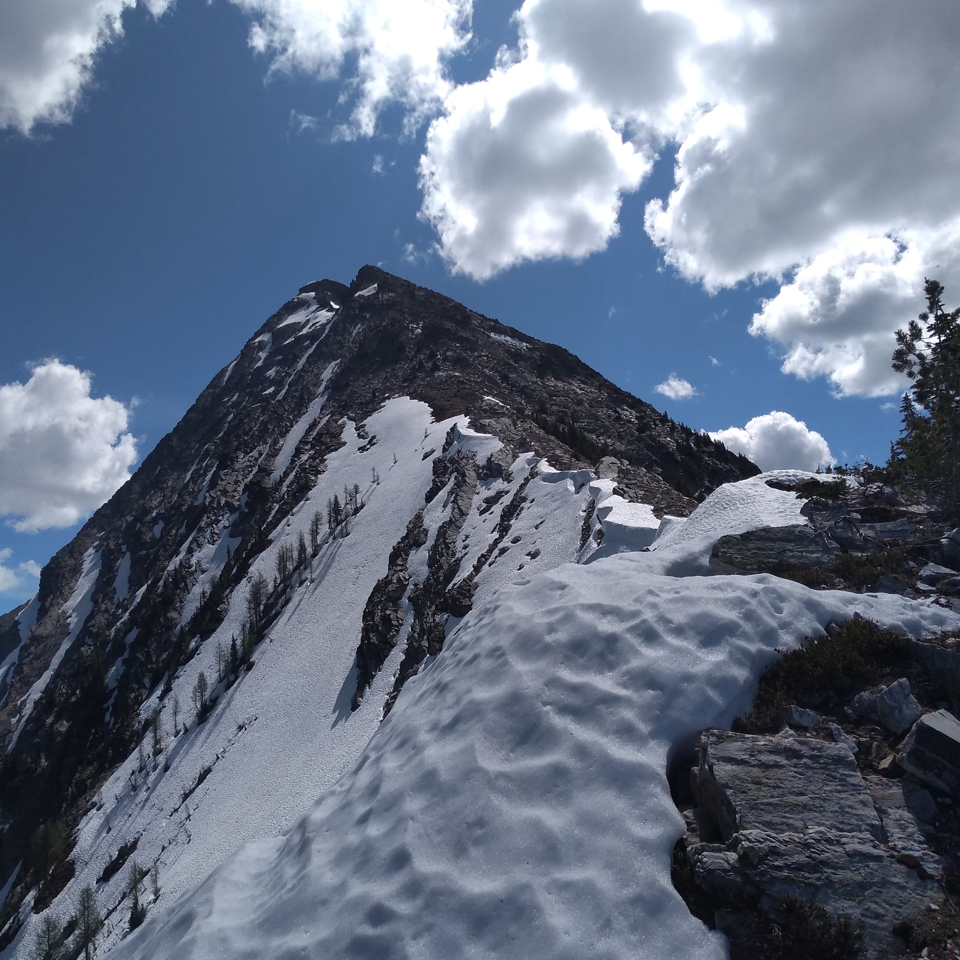
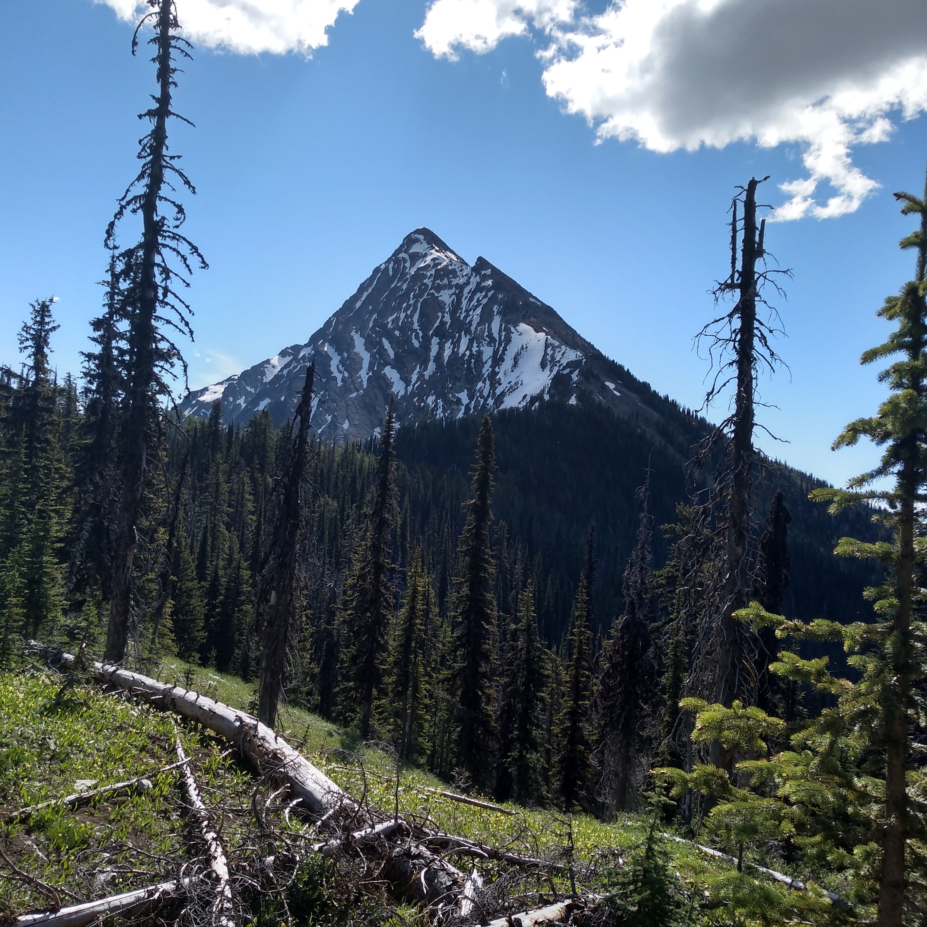
Driving Access: All wheel drive (AWD) vehicle is preferred due to protruding rocks and water bars (road conditions vary over time). Drive north along Highway 3A approximately 78 kms to Riondel by turning right onto Riondel Road several kms before the Kootenay Bay Ferry. Once in Riondel bear left on Fowler St then north (right) on Eastman Avenue, continue north along Eastman Ave through Riondel, continue along as it turns into Riondel North Road. Cross the bridge over Tam O’Shanter creek onto the Powder Creek Forest Service Road (FSR). Zero your odometer. Km 0.8 continue straight past Chatter Creek Road. Km 2.8 continue past Pebble Beach parking area on left. Km 3.8 continue straight past right fork. Km 4.3 cross bridge, km 5.3 pass Loki Creek north FSR. Km 6 turn right on Portman Road. The trail head is approximately 9 km up Portman Road. This is an active logging road, so beware. Watch for the “Mt. Loki” sign.
Thanks to the Kaslo Trailblazers for great trail improvements over the years.
Elevation Profile