Trail Map
Quick Facts
| Distance: | 100m Round Trip |
| Elevation Gain: | 2m |
| Difficulty: | Easy |
| Time: | ~5 minutes |
| Season: | Year Round |
| Parking: | 4 Cars |
Description
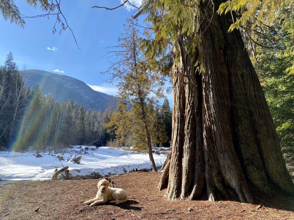
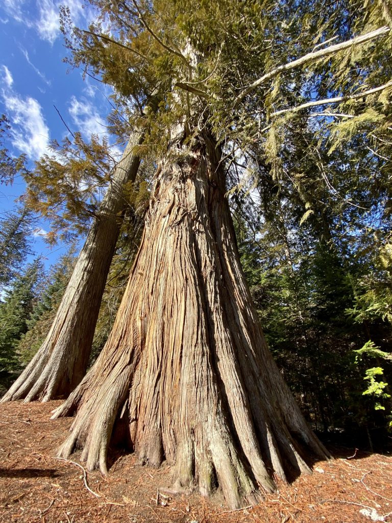
Barely long enough to be called a stroll, this small trail heads upstream northwest of the Corn Creek / West Creston Rd bridge. Growing on the banks of the creek is an extremely large old-growth cedar, and a nicely shaded area worth packing a picnic for. In an effort to keep the forest soil around the cedar intact, rocks have been placed on the bank to slow down the erosive power of the creek, and trees have been cabled for support. Short and sweet, this “trail” is almost wheelchair accessible.