
Balancing Rock Trail
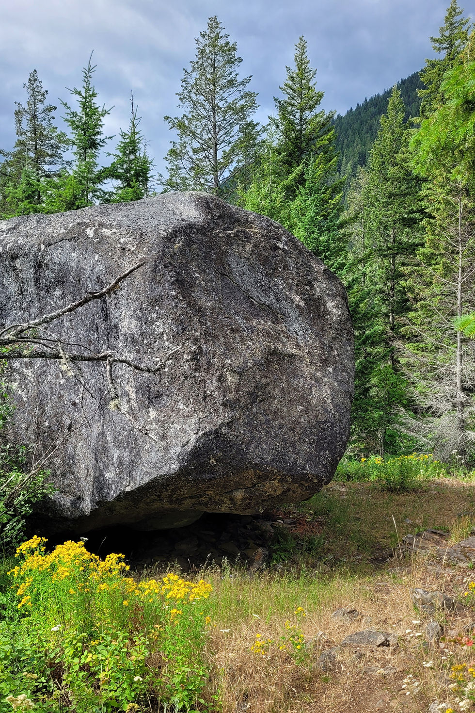
This trail is a very popular trail close to Creston. The trail provides beautiful views of Creston Valley and bird activity. The large rock for which this trail is named is awkwardly balanced on the ground. Intrepid kids often climb up the rock for a photo opportunity. The name YaqanNukiy literally means “where the rock stands” and refers to an important place in the Creston Valley.
Head west out of Creston on Hwy 3 for 10.1 km, turning left on West Creston Rd. From the turn it is about 100m to the parking lot for Balancing Rock on the west side of the road.
Challenges include steepness, loose rock, and overgrown sections. Reviewers recommend sturdy shoes and taking your time. Poles are handy especially coming down. The trail goes up the mountain under the power line and consists of some long switch backs until you get near the top where there is a bench to enjoy the beautiful view. A little further on is the ‘Balancing Rock’ then the trail goes over the back to intersect with Mount Creston where the trail leads you to Hollie Falls and junctions off to Fern Forest trail.
You can use the Fern Forest trail to make it a loop trail which goes to Summit Creek area then walk through the WildLife Management area to get back to the Balancing Rock parking lot.
1 way is 30-45 minutes at a steady pace
History of the Trail
In Spring 2025, Trails for Creston Valley Society officially added the Balancing Rock Trail to our managed trail network under our Partnership Agreement with Recreation Sites and Trails BC.
Recognizing its popularity and historic significance, we’re committed to maintaining trail quality, ensuring safe public access, and integrating this trail into our ecosystem of interconnected paths.
With this addition, TCVS now manages yet another valued corridor—helping preserve Creston’s trails for the future.
Distance
4 km one way
Difficulty
Rated Moderate. From the parking lot the trail gains elevation quickly and is steep at times, contains many long switch backs.
Elevation
Elevation gain 500 m
Highest elevation point 1047 m
Grade
12.6%
Current Conditions
Excellent conditions, watch for Giant hog weed along the trail. Steps are underway to remove it. Do not touch it, keep your dogs away from it
Features
A lone, giant rock balances on the trail. Hollie Falls at the top, amazing views at all look out points
Parking
Parking in the lot just off West Creston Road
Time
Estimated time: 4 hours
Season
This is an excellent early morning hike, as the sun gets pretty hot on that side of the mountain, The hotter the sun, the less mosquitoes
Dogs
Dogs are welcome, on leash. Pet owners please pick up after your pets


