Directions
This trail shares the same trailhead as Balancing Rock. It is well marked and found just a short distance, 150m south, from Highway 3 on West Creston Rd. There is a moderate sized parking lot on the west side of the road with space for multiple vehicles.
Description
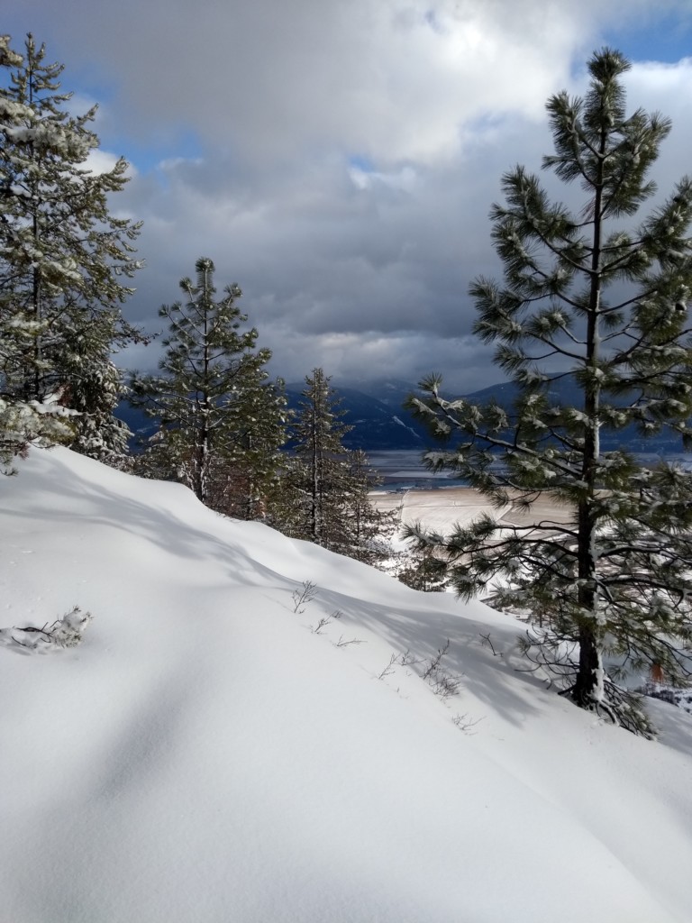
This trail starts at the end of the Balancing Rock Trail and continues up Creston Mountain to one of the most scenic views from the west side of the valley.
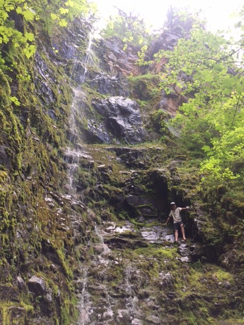
Shortly after passing Balancing Rock, the trail crosses over a boardwalk through a marshy area full of ferns and skunk cabbages and then continues uphill. About half way to the end of the trail, a separate short path leads to a seasonal waterfall, Holly Falls. The cool mist from the falls makes this a good place to take a refreshing break. After the falls, the trail continues up Creston Mountain and ends with expansive views of the entire valley.
Elevation Profile

Trail Map
Quick Facts
| Distance: | 4.3km Round Trip from Balancing Rock |
| Elevation Gain: | 404m |
| Terrain: | Steep sections |
| Difficulty: | Moderate/Challenging |
| Features: | Scenic Views, Waterfall |
| Time: | 2.5hrs |
| Season: | Spring-Fall |
| Parking: | Lots |